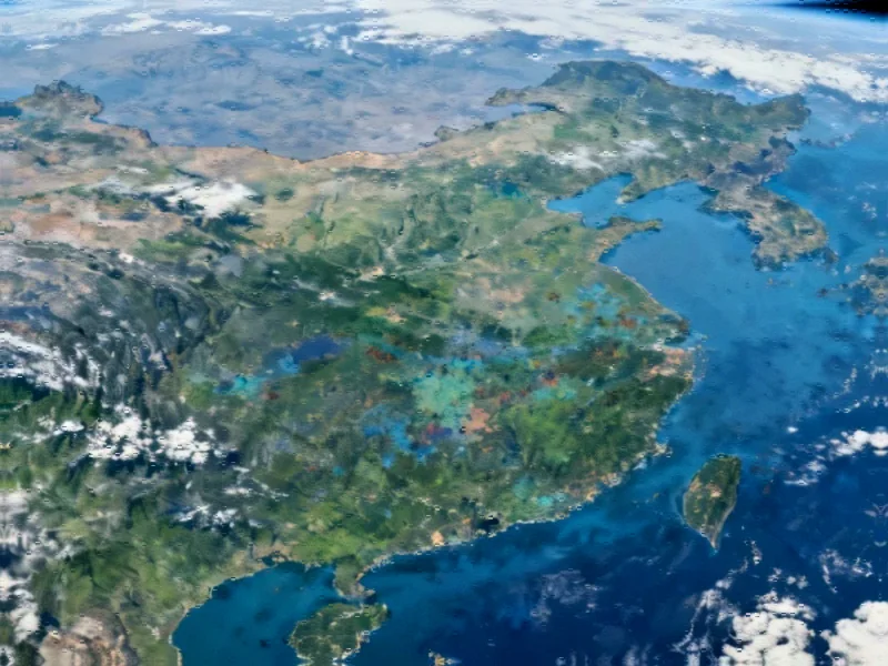
The New Era of Earth Observation
While space exploration often captures headlines for its cosmic discoveries, a quiet revolution is happening closer to home. Earth observation (EO) technology is transforming how we address some of humanity’s most pressing challenges—from disease prevention to disaster management. What was once the domain of scientists and space agencies is now becoming accessible to local communities and decision-makers worldwide.
European researchers are at the forefront of this movement, demonstrating how satellite data can be converted into actionable intelligence that protects both people and the planet. This represents a significant shift in how we leverage space technology, moving from pure observation to practical intervention.
Mosquito Surveillance from Space
One of the most compelling examples of EO in action is the Early Warning System for Mosquito-Borne Diseases (EYWA), operational since 2020. This pioneering service uses high-resolution satellite imagery to track mosquito breeding grounds, enabling authorities to intervene before diseases can spread.
Dr. Haris Kontoes, research director at the National Observatory of Athens and EYWA coordinator, explains the urgency: “Millions of people are affected worldwide, but in the last decade, these diseases have been increasingly transmitted in Europe, even reaching northern European countries.”
The system’s data-driven approach allows for targeted interventions at breeding sites, with remarkable results—some areas have seen mosquito populations cut in half. Today, EYWA protects approximately 30 million people across multiple continents, demonstrating the global potential of satellite surveillance transforms Earth observation capabilities when applied to public health challenges.
Building a Connected EO Ecosystem
The success of initiatives like EYWA reflects a broader movement toward collaborative Earth observation. The European Group on Earth Observations (EuroGEO) brings together governments, researchers, and businesses to harness satellite data for practical applications ranging from disaster response to agriculture and climate resilience.
Professor Thierry Ranchin, director at Mines Paris – PSL, emphasizes the importance of collaboration: “It’s about talking with the users, engaging them, and building cooperation.” This philosophy of co-design—creating tools alongside those who will use them—is shaping the next phase of EuroGEO’s development.
The organization is working to overcome fragmentation in the EO landscape through its #OneEuroGEO approach, which aims to create a truly connected ecosystem. This includes establishing a permanent governance structure and breaking down silos between data, programs, and people.
From Data Deluge to Practical Solutions
The volume of Earth observation data is staggering—more than 100 terabytes pour in daily from programs like Copernicus and Destination Earth. Yet the challenge lies not in data collection but in accessibility and application. Local authorities and frontline workers often struggle to access or interpret this information.
EuroGEO is addressing this gap through specialized Action Groups that combine tools, models, and expertise across domains. These groups deploy cloud infrastructure, provide open access to IoT networks, and deliver training to ensure satellite insights reach those who need them most.
Recent industry developments in machine learning are further enhancing our ability to process and interpret Earth observation data, revealing patterns and connections that were previously invisible to human analysts.
Real-World Impact Across Sectors
The applications of EO data extend far beyond public health. EuroGEO’s rapid flood monitoring service helped communities in Central Europe manage devastating floods in 2024, while other initiatives are transforming sectors including agriculture, energy, and urban planning.
As we examine related innovations in sustainable technology, it’s clear that Earth observation plays a crucial role in monitoring environmental changes and guiding conservation efforts. The integration of EO data with other technological advances creates powerful synergies for addressing complex challenges.
Meanwhile, market trends indicate significant growth in the EO sector, with the value of the data market expected to nearly triple by 2030. This expansion reflects increasing recognition of satellite data’s potential across multiple industries and applications.
The Path to Sustainable Services
Scaling successful pilots into permanent services remains a key challenge. “Sustainability depends on securing funding and meeting real needs,” notes Dr. Kontoes. “That attracts further investment, including from the private sector.”
EYWA’s ability to attract support from diverse sources—including the EU, the Hellenic Foundation for Research and Innovation, the Bill & Melinda Gates Foundation, and the Horizon Prize on Early Warning for Epidemics—demonstrates the compelling value proposition of well-designed EO applications.
Looking at recent technology implementations across various sectors, we see similar patterns of successful scaling when solutions address genuine needs and demonstrate clear value to users.
Future Directions and Opportunities
In 2025, EuroGEOSec plans to deliver a roadmap to make EO data more accessible to ministries, municipalities, and even individual citizens. This aligns with broader movements toward democratizing technology and data access across multiple domains.
Professor Ranchin captures the central question facing the EO community: “There will be an explosion of EO data in the coming years. The question now is, how can we make sure that it can be put to good use in as many areas as possible?”
As we consider the intersection of technology and regulation, it’s worth noting how industry developments in data governance and AI disclosure requirements are creating frameworks that support responsible innovation in Earth observation and related fields.
From controlling disease vectors to managing natural disasters, the answer is increasingly clear: what we capture in orbit has the power to dramatically improve life on Earth. The challenge—and opportunity—lies in building the bridges that connect satellite data with the people who can use it to make better decisions and create meaningful change.
This article aggregates information from publicly available sources. All trademarks and copyrights belong to their respective owners.
Note: Featured image is for illustrative purposes only and does not represent any specific product, service, or entity mentioned in this article.


