Note: Featured image is for illustrative purposes only and does not represent any specific product, service, or entity mentioned in this article.
Breaking Through the Thermal Barrier in Ocean Color Sensing
For decades, ocean color satellites have served as our eyes in the sky, monitoring water quality and marine ecosystem health from orbit. These sophisticated systems estimate critical parameters like chlorophyll concentration, suspended sediments, and dissolved organic materials—data essential for fisheries management, pollution tracking, and climate research. However, a persistent challenge has limited their accuracy in coastal regions: the failure to account for seawater temperature variations in atmospheric correction algorithms.
Atmospheric correction—the process of removing atmospheric interference from satellite signals—forms the foundation of ocean color remote sensing. Traditional approaches have operated on two problematic assumptions: that near-infrared signals from water are negligible, and that seawater absorption properties remain constant. While these simplifications work reasonably well in open ocean waters, they frequently break down in the complex, dynamic environments of coastal zones where temperature fluctuations significantly alter water’s optical properties.
The Thermal Blind Spot in Coastal Monitoring
Most operational ocean color algorithms, including the widely-used Near-Infrared Iterative approach (ACiter), calculate water-leaving radiance using a fixed absorption coefficient for pure seawater referenced to 22°C. This thermal standardization creates what researchers are now calling a “temperature blind spot” that distorts reflectance measurements, particularly in the blue spectral bands where chlorophyll detection occurs.
“The assumption of constant absorption has been one of the dirty little secrets of ocean color remote sensing,” explains Dr. Maria Chen, a satellite oceanographer not involved in the recent study. “We’ve known theoretically that temperature affects water absorption, but operational systems haven’t incorporated this knowledge due to computational complexity and data limitations.” This oversight in related innovations has particularly affected monitoring in regions experiencing rapid environmental changes.
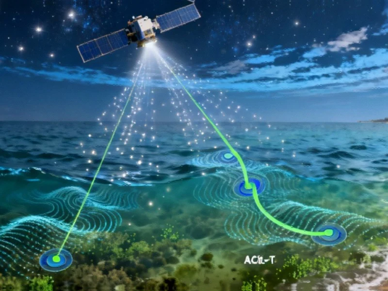
ACiter-T: A Thermally Intelligent Correction Framework
A research collaboration led by the Ocean University of China has now developed a solution to this persistent problem. Their newly published algorithm, ACiter-T, integrates temperature-adjusted absorption coefficients derived from extensive laboratory measurements and field validation data. The system dynamically adjusts atmospheric correction parameters based on sea surface temperature data, creating what the team describes as a “thermally intelligent” processing framework.
The researchers validated their approach through both simulated datasets and 528 satellite-in situ matchups from AERONET-OC coastal monitoring stations. The results demonstrated systematic error reduction when temperature variability was incorporated, with particularly dramatic improvements in challenging environments. In highly turbid, cold waters, mean absolute percentage differences in reflectance dropped by more than 50% compared to the standard algorithm.
At Belgium’s MOW1 monitoring station, known for its complex water conditions, errors in blue-band reflectance decreased from over 23% to less than 10%—a critical improvement for accurate chlorophyll estimation. The findings highlight how industry developments in sensor technology must be matched by algorithmic advances to maximize data utility.
Practical Implications for Coastal Management
The enhanced accuracy provided by temperature-aware algorithms has immediate practical applications across multiple sectors. Fisheries managers can now access more reliable chlorophyll data for identifying productive fishing grounds, while aquaculture operations can better monitor water quality conditions around their facilities. Pollution tracking agencies will benefit from improved sediment transport mapping, and climate scientists gain a more precise tool for monitoring coastal ecosystem responses to warming trends.
As lead author Junwei Wang noted, “Our findings demonstrate that seawater temperature is not just a background factor but a key driver of accuracy in satellite ocean color products. By refining the atmospheric correction process with temperature-sensitive parameters, we can significantly improve the reliability of data used for monitoring coastal ecosystems.” This advancement in recent technology comes at a crucial time when coastal communities face increasing environmental pressures.
Integration With Operational Satellite Systems
The ACiter-T algorithm represents a practical enhancement ready for integration into operational ocean color missions, including those operated by NASA, ESA, and other space agencies. Unlike many theoretical improvements that require completely new instrumentation, this advancement can be implemented through software updates to existing processing chains—making it both cost-effective and rapidly deployable.
The timing is particularly fortuitous given the expanding constellation of Earth observation satellites and the growing emphasis on coastal zone monitoring. As nations worldwide increase their investments in environmental monitoring infrastructure, algorithmic improvements like ACiter-T ensure we extract maximum value from these expensive systems.
Broader Context: The Evolution of Remote Sensing Algorithms
The development of temperature-aware atmospheric correction occurs alongside other significant advances in Earth observation. Just as ocean color processing is becoming more sophisticated, we’re seeing parallel market trends toward greater algorithmic intelligence across multiple remote sensing domains. From agricultural monitoring to urban planning, the integration of ancillary environmental data is transforming how we interpret satellite observations.
This progress reflects a broader shift in how the technology sector approaches complex measurement challenges. Rather than treating environmental variables as noise to be eliminated, modern systems increasingly recognize them as integral components of the measurement framework itself.
Future Directions in Coastal Remote Sensing
Looking ahead, researchers anticipate that temperature-aware algorithms will become standard in next-generation ocean color processing systems. The success of ACiter-T also opens the door to incorporating other environmental variables that influence water optical properties, including salinity, pressure, and dissolved gas concentrations.
As climate change increases seawater temperature variability, these refined algorithms will become increasingly essential for maintaining data continuity and accuracy. The research community is particularly interested in how these improvements will enhance our ability to monitor environmental changes in polar regions, where water temperatures deviate most dramatically from the traditional 22°C baseline.
The financial implications of these technological advances are also significant. More reliable coastal monitoring data reduces uncertainty for investment decisions in coastal infrastructure, fisheries, and conservation initiatives. As the economic value of coastal ecosystems becomes increasingly quantified, the demand for precise monitoring tools continues to grow.
Conclusion: A New Era of Precision Coastal Monitoring
The integration of temperature effects into atmospheric correction represents more than just an incremental improvement—it marks a fundamental shift in how we approach ocean color remote sensing. By acknowledging and accounting for the dynamic nature of seawater optical properties, researchers have overcome a longstanding limitation in coastal monitoring.
As these algorithms are implemented across global satellite systems, we can anticipate more reliable assessments of water quality, more accurate tracking of algal blooms, and better-informed management decisions for our valuable coastal resources. The development of ACiter-T demonstrates how seemingly minor physical considerations, when properly addressed, can yield major advances in our ability to monitor and understand Earth’s changing coastal environments.
This article aggregates information from publicly available sources. All trademarks and copyrights belong to their respective owners.